


\”
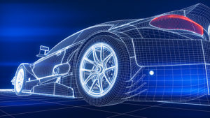
Self-driving cars are indisputably city folk. Sending one of these vehicles, which rely on GPS and sensors rather than human drivers for operation, into the mountains of Colorado is akin to plopping lifelong Manhattanites into the wilds of the Rocky Mountains and telling them to find their way home. At present, self-driving cars rely heavily on intricately-detailed 3-D maps of their citified environments, in which everything from street lanes to curb placement are already known to the vehicle\’s computer and paired with sophisticated onboard sensors.
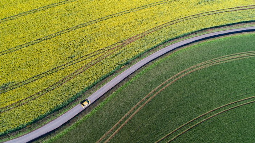
There are about 4 million miles of roads in the United States, and roughly 35 percent of them aren\’t even paved, much less mapped in exquisite detail by the computer geeks who ensure the reliability of self-driving cars in metropolitan areas. That\’s why researchers at the Massachusetts Institute of Technology (MIT) Computer Science and Artificial Intelligence Laboratory (CSAIL) are working to make these cars more capable on streets and roads that aren\’t marked, well-lighted … or even really mapped at all. The project is called MapLite, and may help, well, pave the future for automatic vehicles to navigate more safely.
MapLite requires basic GPS data, like you\’d find on your smartphone\’s mapping app, to give the car a rough idea of its location. Then, the onboard LIDAR (which stands for Light Detection and Ranging), a remote sensing method that uses pulsed laser beams to survey the immediate surroundings, easily detects the road surface because the road is very flat compared to typical lumpy natural ground. An inertial measurement unit (IMU) sensor adds more data to the mix, and altogether, the systems let the car see about 100 feet (30 meters) ahead at any given moment.
In other words, MapLite allows these cars to drive via sensors alone, using the very rough maps and GPS data for basic instructions. The LIDAR serves as a feeler of sorts, denoting road edges and setting off for "local" safe points its sees on the way to its final destination. MapLite can\’t maneuver mountain roads yet since it can\’t handle big changes in elevation that could confuse the system. But that\’s the next hurdle to overcome.
"I imagine that the self-driving cars of the future will always make some use of 3-D maps in urban areas," says CSAIL graduate student Teddy Ort, a lead author on a paper about the system, in a press release."But when called upon to take a trip off the beaten path, these vehicles will need to be as good as humans at driving on unfamiliar roads they have never seen before. We hope our work is a step in that direction,"
NOW THAT\’S INTERESTING
Some self-driving systems, like MapLite, lean on onboard sensors. Others, like Waymo, a Google sibling, also use a type of machine learning to hone situational awareness and to address hazards like snow and pedestrians. Waymo\’s technologies are so sophisticated that the cars often travel thousands of miles with zero driver input. Other systems are still struggling, like the one employed by Uber, in which drivers sometimes have to intervene nearly every mile, lest they strike and kill pedestrians that the computers mark as "false positives."


